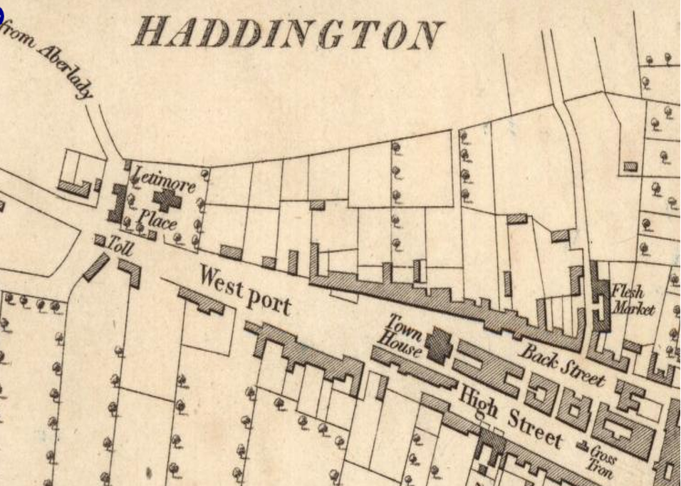
Craig Statham gave us a fascinating and very informative talk on the use of the maps catalogue held by the National Library of Scotland, in the contexts of local history and genealogy. There are currently around 200,000 maps, mostly of Scotland, available to search on the website (maps.nls.uk), and increasing by several thousand per year. The maps are from the very earliest in the 16th century (Forlani and Pont), through the complete and very detailed coverage of Scotland by William Roy in the 18th century, up to the present day. Highly detailed, systematic mapping using large scales began with the Ordnance Survey in the mid 19th century, with the introduction of the first editions of 25 inch and 6 inch to the mile maps. The map collection is classified into a large number of different categories, some of which are included here as a ‘starter’ for those who might wish to develop or enhance some research with them:
Estate plans; Farm maps; Piers and Harbours (many from Stevenson family, not yet online); OS 25 inch and 6 inch from mid 19thC on; Comparison maps (same area, different times); Industry; Mining; Gardens; Public Buildings; Land Utilisation; Goad plans (occupants of properties, beginning 1950s); WW1 trench maps; Admiralty charts; Bathymetric maps of lochs; Arial photographs (but the old RCAMHS, now Historic Environment Scotland, is probably a better source than NLS).
While this very large map collection can be accessed online, many more maps can be accessed at the library in Causwayside, Edinburgh, and virtually any map of any part of the world can be obtained on request.
With such a large online collection, categorised in so many ways, the website is unavoidably complex and navigation takes practice. Craig took us on a trip through some of it using the Town House WiFi, and all worked perfectly! A property of the ‘georeferenced’ maps, for example, is the ability to make the chosen map transparent. Using a sliding icon the transparency of, say, a 1750s Roy map can be increased to reveal a modern satellite view at the same scale matched underneath, thus allowing an instant comparison to reveal changes since the older map was made. In any location, in our case East Lothian, there is a huge amount of historical information which may be accessed much more easily from the maps than from researching written records.
At the moment the Modern Map Viewer can only be accessed in the library locations in Edinburgh. Hopefully this may change. It is also allowable to photograph maps in the library (for personal use only) using phone or compact camera. Otherwise, for the online maps accessible through your own computer, a print option is available should you want hard copy.
Craig finished his talk with examples of commercial users of the maps: tourist organisations, book publishers, media organisations (TV, film), exhibition organisers. As a fully fledged map aficionado, your Convenor positively itched to rush home to explore the website. Make haste to maps.nls.uk
Peter R